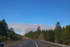
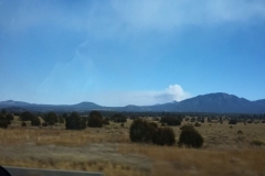
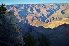
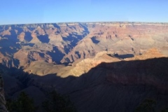
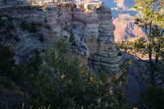
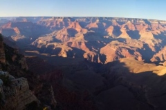
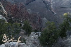
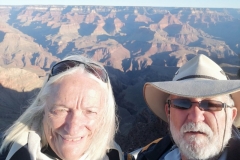
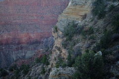
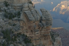
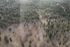
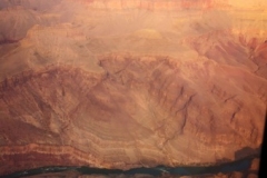
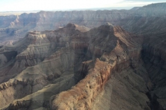
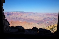
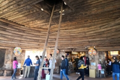
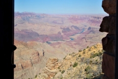
After postponing this iconic location a few weeks back we finally made it to the South Rim of the Grand Canyon. We’ve only 2 more stops to make before we get to Las Vegas and then fly to Hawaii for a weeks ‘R & R’ before jetting back to Australia for Christmas. We had doubts for a while if we’d make it because as you can see in the first two photos there was a huge pall of smoke between us and the Canyon. Turned out it was the local fire authority doing a controlled burn off to reduce fire fuel in the undergrowth. It’s a tactic we used to use in Australia before the Greens took over the monopoly on common sense. (Sorry, no more politics I promise.)
The Royal Order of the Elk.
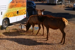
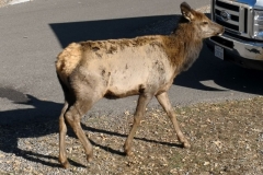
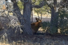
Anyway, Shane had secured a hard to get site in the GC Village RV Park so we were as close to the canyon as you could camp. What we hadn’t counted on was the furry neighbours. We constantly had wild elk around the rig. They were also at the markets (no, not pre-packaged for the BBQ) and many of the vista locations. You’ll see a few more photos of elk in the gallery. Just a few yards from the Visitor Centre is Mather Lookout.
One Helo of a Ride
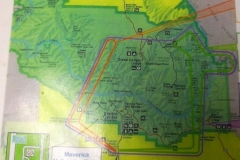
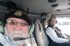
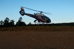
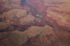
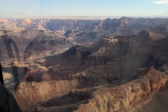
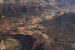
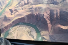
After we settled in and had a look at nearby Mather Point we organised to tick off another bucket list item. Who comes to the Grand Canyon and doesn’t want to see it by helicopter? So the next morning at 0900 we were away on the 1st flight of the day. We were both so excited and if you’d like to see our video of the trip then click here. It’s a long video (17 minutes). I tried so hard to edit out more to shorten it but there’s too much to see I couldn’t cut it anymore. I have also included a photo of the route we took. Our flight was the (outer) purple. It was 45 minutes all up and it was fantastic. Our thanks to Sean and Maverick Helicopters for a great flight.
The Centre of Attention
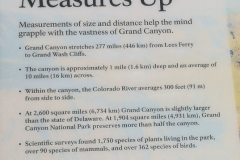
Before I go further you need to understand that the Grand Canyon is around 280 miles (450 kms) long and this area (the most tourist oriented) is just 30 miles (48 kms) wide at most. There are 4 free shuttle bus routes. At this time of year (November) the route into the township is closed so we get to use the three remaining trips. These bus routes are provided free to encourage tourists to park their cars and reduce congestion on the narrow National Park roads. The photos immediately after the helo trip are taken on the western Hermit’s Rest bus route. Early in the gallery take note of the Angel Bright Trail. That’s the one that zig-zags to the bottom of the canyon. There’s 3 or 4 rest stops on the trail and the number one rule is “Give way to mules”. We would have loved to have done the trail but you need to be in good physical condition and the Rangers will actively stop people they deem too unfit. As it was we saw the rescue chopper lift at least 3 people out of the valley in litters slung under the helicopter. Some people will do anything to be the centre of attention.
No Rest for these Tourists
We continued eastward till we got to Hermit’s Rest at the end of the red bus route. It doesn’t matter where you are in the Grand Canyon the vistas are superb and you only need walk a few metres and the same vista can look very different. This is so evident when viewing various parts of the Colorado River as it winds its way through the landscape. Magnificent country. Oh yeah, we were accosted again by more wild elk just outside the HR café.
Desert View Tower
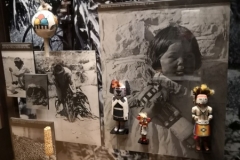
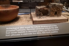
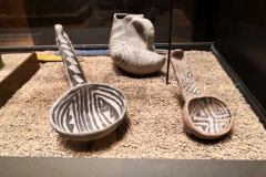
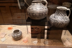
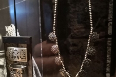
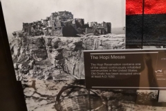
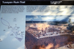
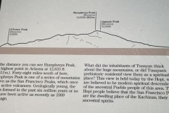
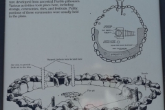
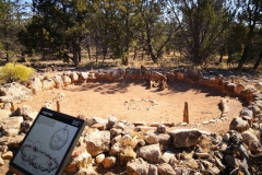
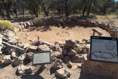
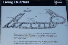
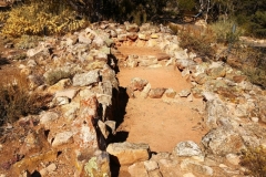
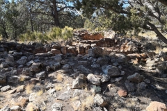
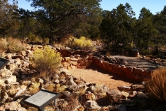
The next day we grabbed a bus going in the opposite the direction, west to the Desert View Tower. The first stop was the Tusayan Ruins Museum. It’s not a big museum by any measure but it does have a very interesting range of artefacts from the ruins dating back almost 1000 years. There is also a great display showing how large the pueblo here would have been at its’ peak. Beside the museum there are remnants of the actual pueblo available for public inspection.
Towering Over the Canyon.
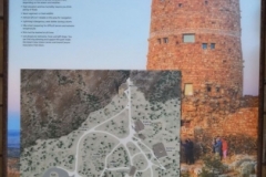
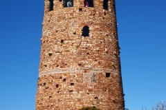
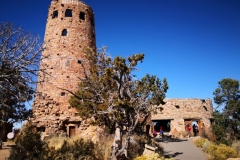
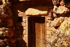
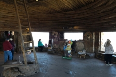
After looking over the ruins we travelled onwards to our eventual goal, the Desert View Tower. We were not expecting to see such a substantial structure. Strangely though this is not some ancient ruin but was built and opened in 1932. The architect, Mary E J Colter was famous as ‘the architect of the southwest’. It was built to replicate other towers and provide a lasting monument incorporating many of the typical features that ancient Indian towers utilised over the centuries. You can see our video here of the Desert View Tower.
Plane Disaster
Another item of interest was the location of one of America’s worst air crashes when 2 tourist airliners collided over the canyon. If you look carefully at the sign depicting the area of the crash then look at the next photo you can work out where these two aircraft fell to the ground between Temple and Chuar Butte.
Stalked by an Elk
On the way back to our rig we stopped to photograph Duck Rock. Once back I had a few jobs to do and this meant being stalked by thirsty elk who have no fear of humans and will apparently attack if startled. They get close to the vans to drink any water that may be dripping from a rig’s hose setup.
That’s it for another post. Keep your eyes peeled for the next post as there will only be a couple to go before we’re home in Australia.
Cheers for now
Garry & Shane.

